Geography of Tripunithura Municipality
Geographic Coordinates
Tripunithura Municipality is located in the Ernakulam district of Kerala, India, at approximately 9.95° North latitude and 76.34° East longitude. It lies about 7–10 km east of Kochi city centre and forms an important part of the Kochi Metropolitan Region.
Area
The municipality covers a total geographical area of 29.17 square kilometres. The area comprises residential neighbourhoods, commercial centres, educational institutions, water bodies, wetlands, and heritage precincts.
Administrative Status
Tripunithura is a Municipality under the Department of Local Self Government, Government of Kerala. It functions as an Urban Local Body (ULB) responsible for civic administration, public health, sanitation, urban infrastructure, and community services within its jurisdiction. Historically, Tripunithura served as the capital of the erstwhile Kingdom of Cochin.
Boundaries
The municipality is situated in the eastern part of the Kochi urban agglomeration and is bounded by:
- North: Thrikkakara region and Kanayannur Taluk areas
- South: Udayamperoor and Kumbalam regions
- East: Chottanikkara Panchayat
- West: Maradu Municipality and Kochi urban areas
Its strategic location places it between central Kochi and the eastern suburban settlements of Ernakulam district.
Topography
Tripunithura is characterized by predominantly flat terrain with an average elevation of approximately 2–10 metres above mean sea level. The municipality falls within Kerala's midland zone and consists of:
- Low-lying plains
- Wetlands and paddy fields
- Canals and drainage channels
- Residential and commercial urban landscapes
- Scattered green spaces and coconut groves
The terrain gently slopes towards the backwater systems connected to the Vembanad wetland ecosystem, making water management and wetland conservation important environmental concerns.
Population (2011 Census)
According to the 2011 Census of India, Tripunithura Municipality had a population of 69,390, comprising 33,918 males and 35,472 females. The municipality recorded a literacy rate of approximately 97.7%, one of the highest among urban local bodies in Kerala.
Important Geographic Features
Several natural and man-made features contribute to the geographical identity of Tripunithura:
- Proximity to the Vembanad Lake ecosystem
- Numerous ponds, canals, and temple tanks
- Wetlands and low-lying water-retention areas
- Historic royal precincts associated with the Cochin Kingdom
- Excellent connectivity through road, railway, and metro transport systems
- Green institutional campuses and heritage landscapes
The municipality also serves as a transition zone between the highly urbanized Kochi city and the semi-urban eastern regions of Ernakulam district.
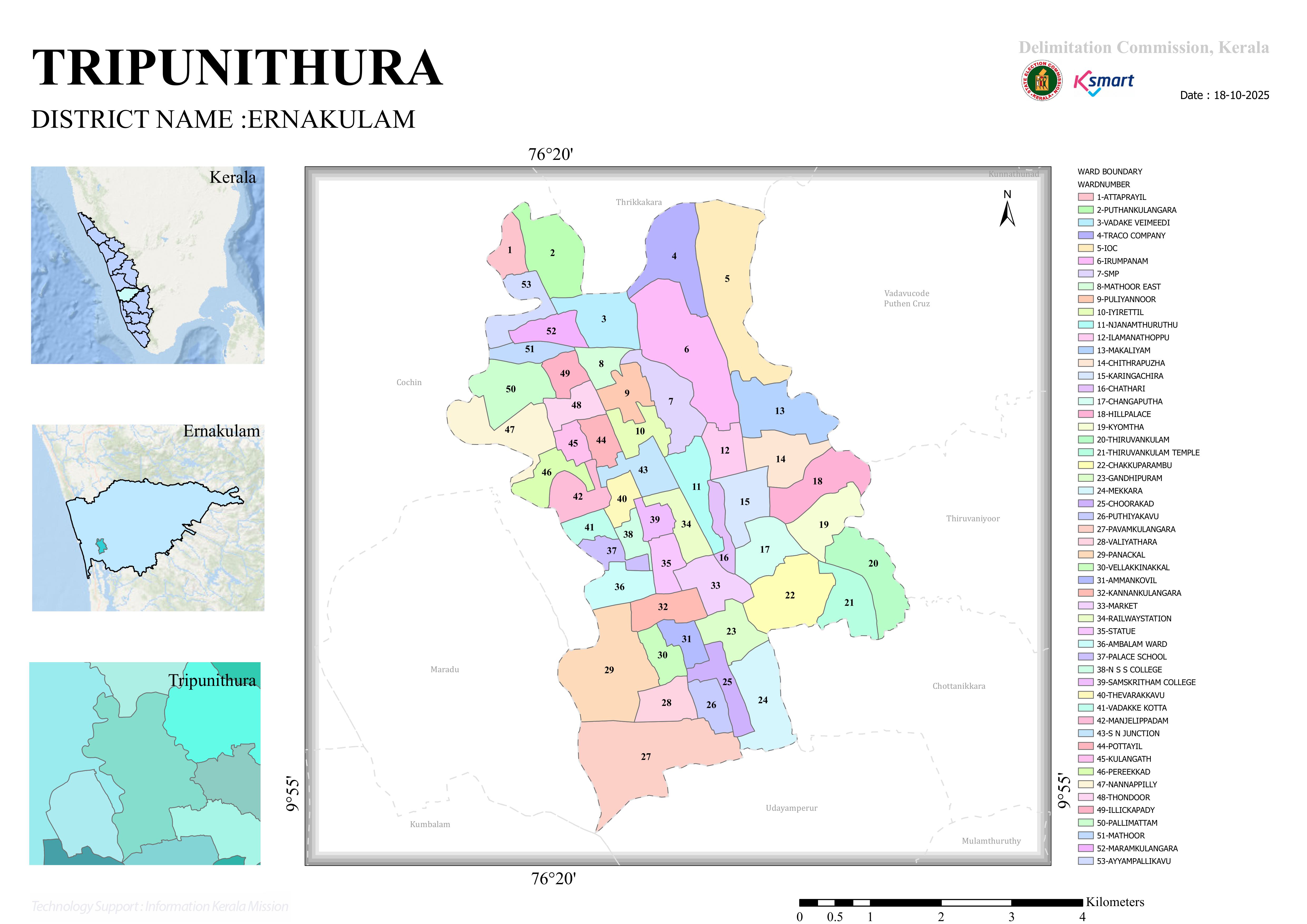
Ward Structure
Tripunithura Municipality is presently divided into 53 municipal wards, each represented by an elected councillor in the Municipal Council. The ward system ensures decentralized local governance and effective delivery of civic services across the municipality.
Climate
Tripunithura experiences a tropical monsoon climate with warm temperatures and high humidity throughout the year.
Temperature
- Average maximum temperature: 30°C to 34°C
- Average minimum temperature: 22°C to 25°C
Rainfall
The municipality receives substantial rainfall from:
- Southwest Monsoon (June–September)
- Northeast Monsoon (October–November)
Annual rainfall generally ranges between 2,500 mm and 3,500 mm, supporting lush vegetation and groundwater recharge.
Humidity
Relative humidity typically remains between 70% and 90%, particularly during the monsoon season.
Water Resources
Tripunithura contains numerous natural and man-made water bodies, including:
- Traditional ponds and temple tanks
- Canals connected to the Kochi backwater network
- Wetlands and low-lying marshy areas
- Drainage channels linked to the Vembanad ecosystem
These water resources play a vital role in groundwater replenishment, flood regulation, biodiversity conservation, and local microclimate regulation.
Soil and Vegetation
The municipality possesses fertile alluvial and lateritic soils suitable for cultivation and landscaping. Historically, the region supported extensive agriculture, including:
- Paddy cultivation
- Coconut plantations
- Banana cultivation
- Vegetable farming
Although urbanization has reduced agricultural land, significant green cover remains in residential compounds, institutional campuses, temple premises, and public parks.
Transportation and Connectivity
Tripunithura serves as a major transportation hub in eastern Kochi due to its strategic geographical location. The municipality is connected through:
- National and State highways
- Major district roads
- Railway connectivity through Tripunithura Railway Station
- Kochi Metro Rail services via Tripunithura Terminal Metro Station
- Public and private bus networks
These transportation corridors facilitate movement between Kochi city, neighboring municipalities, and the eastern parts of Ernakulam district.
Urban Development Pattern
The municipality has evolved from a historic royal township into a densely populated urban center. Land use is predominantly characterized by:
- Residential neighborhoods
- Commercial establishments
- Educational institutions
- Healthcare facilities
- Government offices
- Religious and cultural landmarks
Despite rapid urbanization, Tripunithura retains several heritage precincts associated with the former Kingdom of Cochin.
Environmental Significance
Tripunithura's geographical setting near wetlands and backwater systems makes environmental conservation a key concern. The municipality actively promotes:
- Sustainable waste management
- Wetland conservation
- Urban greening initiatives
- Waterbody restoration
- Climate-resilient urban planning
These efforts aim to balance urban growth with ecological sustainability.
Significance
Tripunithura holds immense historical, cultural, and urban significance in Kerala. It was the royal seat of the Cochin rulers and remains an important centre of heritage, culture, and traditional arts. The municipality is home to prominent landmarks such as the Hill Palace, temples, churches, and cultural institutions. Its location within the Kochi Metropolitan Region, coupled with strong transport connectivity including rail and metro services, has transformed Tripunithura into one of the most important residential, educational, and cultural hubs in central Kerala. Today, it plays a vital role in the economic, social, and urban development of the Kochi metropolitan area.